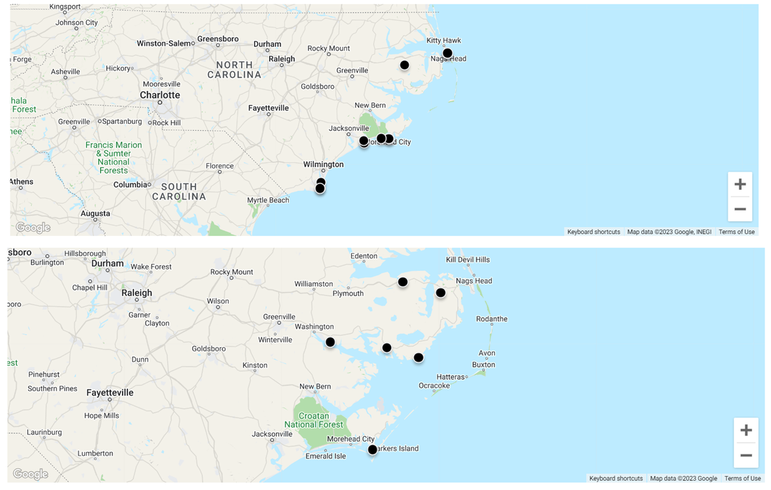
In order to follow the change of coastal ecosystems over time, we have installed platforms for volunteers to photograph the same area and send us their pictures. The maps below show the 18 sites we have installed. Top map shows 11 sites in NC State Parks. The bottom map shows 6 sites in other protected areas. You can see the time series of the photos by going to: www.chronolog.io/map